Colton Blackwell

Personal Portfolio and Projects


>
April 2025

BC Wildfire Hectare Range Predictor

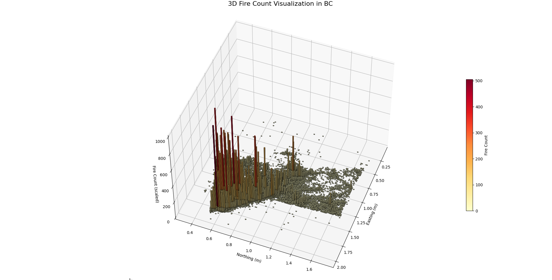
Predicting wildfires before they spread — this project blends machine learning with interactive satellite maps to visualize potential fire impact zones in real time.

Responsibilities

  • Developed a wildfire prediction tool using regression models to estimate fire spread (in hectares).
  • Engineered a modular Python script to generate interactive satellite maps with predicted and actual wildfire sizes.
  • Implemented map layers for toggling predicted and actual fire sizes, providing visual comparison through radius overlays.
  • Processed and normalized test data using a fitted scaler and integrated model predictions with geographical coordinates.
  • Designed a Folium map with clickable markers that display detailed fire cause and ecozone metadata.

Skills Developed

  • Improved ability to visualize model predictions with geospatial tools like Folium and GeoJSON overlays.
  • Experience with manipulating and interpreting machine learning outputs (log-transformed predictions, regressors, classifiers).
  • Strengthened Python scripting practices, including modular design and data-driven visual feedback loops.
  • Deepened understanding of wildfire-related datasets and spatially contextual environmental data.
  • Enhanced skills in dynamically generating feature layers, tooltips, and interactive radius overlays on Leaflet maps.

Technologies

  • Frontend: Folium (Leaflet.js wrapper) for interactive map rendering and styled popups.
  • Backend: Python for data preprocessing, model loading, and output generation.
  • Machine Learning: Scikit-learn regressors and classifiers, model serialization with joblib.
  • Visualization: Radius-based heatmap overlays, dynamically layered FeatureGroups and GeoJSON borders.
  • Data Handling: JSON for geographic boundaries, NumPy and pandas for numerical and tabular manipulation.